1) Look at openstreetmap and find a spot on the map where you know there are missing features
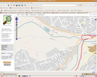
Here's loxley valley, I know that there's a footpath going from the upper half of Myers Grove Lane, down past the Robin Hood Pub, over the river loxley and up the other side of the valley, and it's not on openstreetmap.com. Sweet!
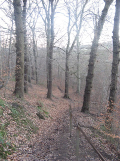
2) Turn on your GPS and go walking, taking waypoint notes along the way :)
The best bit ;)
3) Go home and boot up your fave distro and install gpsbabel (apt-get install gpsbabel for me)
4) Download your trace data (Where you walked, I had to do this as root for dev permissions)
root@bhor:~# gpsbabel -t -i garmin -f usb: -o gpx -F my_track.gpx
5) Download your waypoint data (Your, um, waypoints, I had to do this as root for dev permissions)
root@bhor:~# gpsbabel -i garmin -f usb: -o gpx -F my_waypoints.gpx
6) Load into JOSM and edit / save / upload
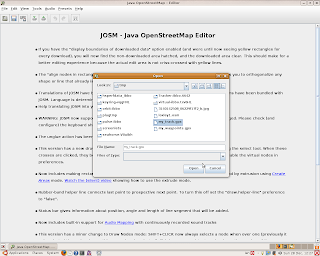
When you're done, you can see your trace and waypoint data.
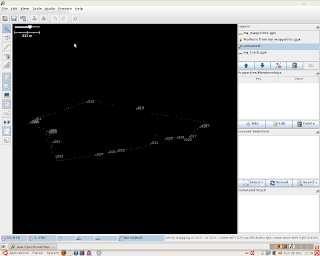
7) Click "File" -> "Download from OSM" to pull down all the openstreetmap data for the area you've walked over
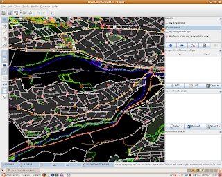
8) Add features corresponding to your trace and waypoints. In my case, a new footpath, a couple of new postboxes, a bridge, 2 schools and a community ctr (and a slight fix to the path of the river loxley so it actually flows under what I know to be a bridge. (I hope thats the right thing to do :S)). Upload your changes to openstreetmap.com
9) Enjoy your work on openstreetmap.com
- Will add the photo just as soon as the OSM render is complete :)
10) Don't forget to upload your postcode coordinates to freethepostcode.org!


1 comment:
Cool. What's your OSM username? I'm here: http://www.openstreetmap.org/user/Frankie Roberto
Post a Comment